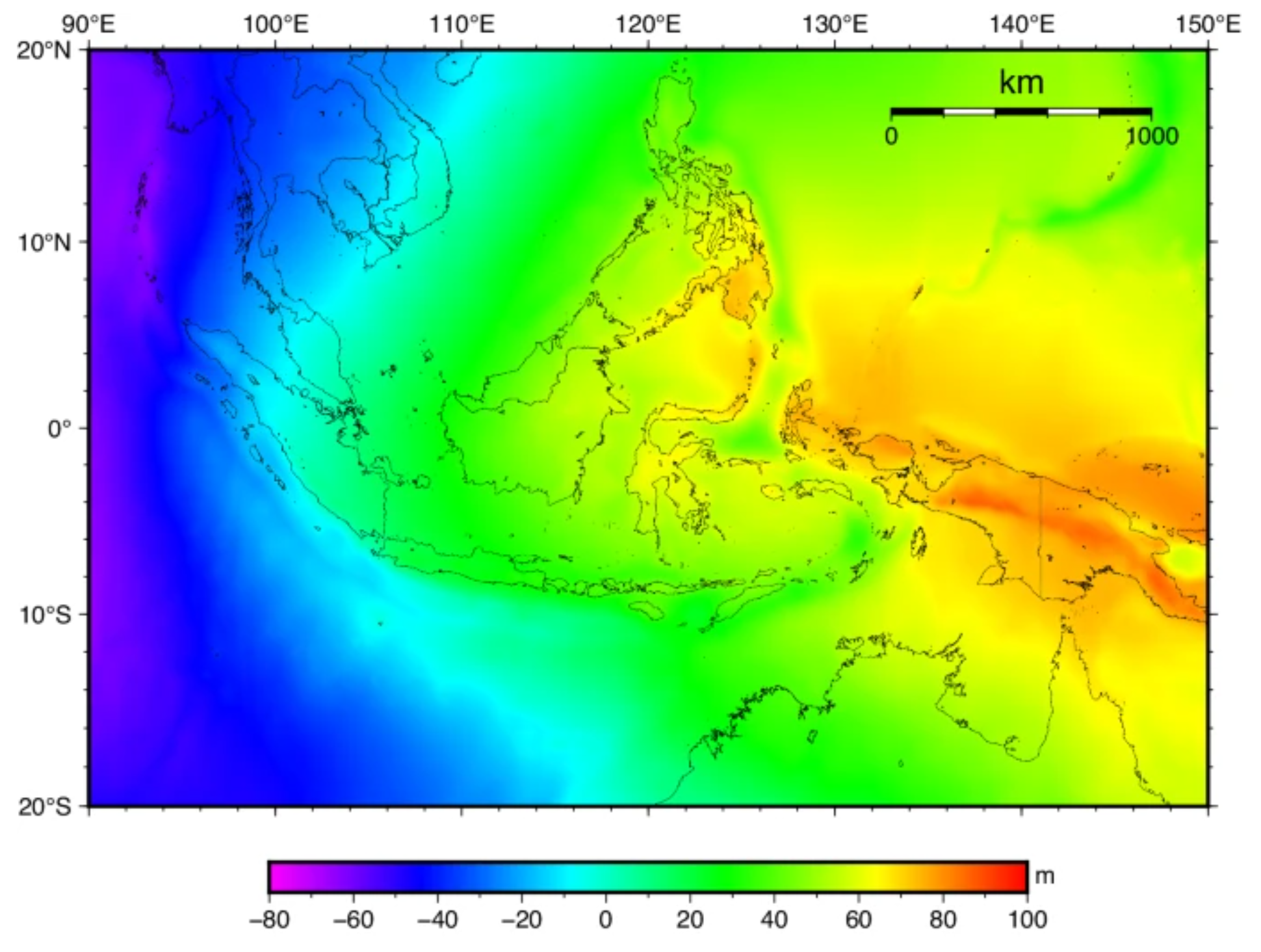
Indonesia (INAGEOID2020 version 2)
|
Authors: G.H. Pramono, et al.
|
Created: 2022
|
Resp: Badan Informasi Geospasial
|
Description:
INAGEOID2020 is a gravimetric geoid model of Indonesia which was computed in 2020. Due to the addition of gravity data in several locations in Indonesia, this was updated under the name INAGEOID2020 version 2. This model was computed from several data such as gravity data, a global geoid model, and elevation data. The gravity data were collected from terrestrial and airborne gravity survey campaigns. The Earth Gravity Model 2008 (EGM2008) up to degree 360 was chosen due to its best fitting in the Indonesian area. The elevation data is represented by the Digital Elevation Model of the Shuttle Radar Topographic Mission (SRTM) with a grid resolution of 15 m. The computation was based on the Remove-Restore Technique by using the Fast Fourier Transformation (FFT) approach. The accuracy of INAGEOID2020 version 2 was evaluated by comparing it with GNSS/leveling observations concentrated at several big islands in Indonesia, ranging between 5 to 28 cm depending on the location.
References:
M.A. Syafi’ (2020). Progress of Geodetic Infrastructure Development in Indonesia. Presentation at the 9th Plenary Meeting of UN-GGIM-AP, 3-5 November 2020.
Badan Informasi Geospasial (2020). Informasi Produk Model Geoid Indonesia (INAGEOID2020). Internal report in Indonesian, Republik Indonesia.
Badan Informasi Geospasial (2022). Product Information of INAGEOID2020 Version 2.0. Internal report in English, Republik Indonesia.
A. Pahlevi, A. Syafarianty, S. Susilo, et al. (2024). Geoid Undulation Model as Vertical Reference in Indonesia. Scientific Data 11, 822. DOI: 10.1038/s41597-024-03646-w
Web of Science ID:
DRCI:DATA2023121027323739
|

|


